
When we fly we have four main factors that can affect our minimum flight altitude and to which we have to pay special attention.
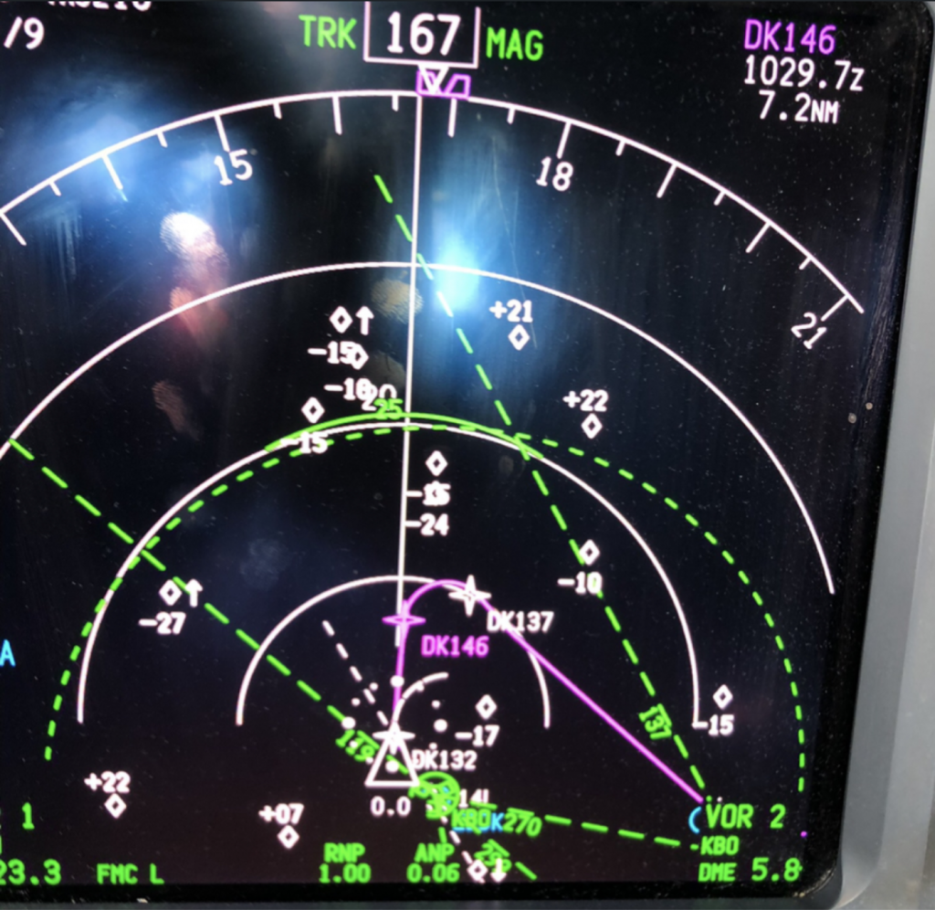
The position of the vast majority of current aircrafts is determined by satellite precision, and as alternative procedures we have those of radio navigation and finally the visual ones.
Like almost everything in aviation related to instruments there are three possible failures or errors of the issuer.
From the signal sender, channel or signal from the receiver
Currently GPS have great precision and coverage and the usual thing is that we trust them almost excessively.
They can fail, in fact in areas close to international conflicts, it is common for the GPS signal to go away (currently it happens in Turkey or areas of China for example) and we should switch to radio navigation mode (VOR mostly) promptly. In fact, in these areas the recommendation is to take radio navigation as a substitute already tuned.
Whenever this happens, we should have mental clarity about our minimum heights that we can fly, since our position is no longer so clear.
Regarding radio aids, as a general rule, their failures are notified in the NOTAM (publication on short-term or temporary changes in operation and regulations), and those of the GPS in the REIM (publication on the quality of reception expected in GPS).
Whenever we are in doubt about the position, the most conservative (and therefore the safest) method is to fly at the highest published minimum altitude.
Of course, if we have visual contact with the terrain, we can separate from it by our own means, although it is not the usual procedure in professional transport flights.
IN SUMMARY, AIRCRAFT POSITION NOT VERY ACCURATE: FLY ABOVE THE PUBLISHED MINIMUM ALTITUDE.

We remember that “FROM HOT TO COLD, LOOK OUT BELOW” and “FROM HIGH TO LOW, LOOK OUT BELOW”
When we fly near the terrain with lower pressure than usual (for that area) or when the temperature is lower than the standard, the altimeter will indicate higher than we actually are, so we must take this into account and correct the minimum flight altitudes.
It is not usually studied much, rather it is given by experience, but a good knowledge of geography places us globally on what high elevation areas we are going to fly, and therefore take into account what flight minimums we can maintain in any eventuality.
There are many more mountains than we think.
It is highly recommended to have a “culture” of the area we usually fly to, in order to understand which destination, alternative or en route alternative airports would be most critical in our flight network.

They are specific procedures in which in the event of an aircraft problem that prevents us from maintaining altitude (usually an engine problem that prevents us from having the necessary power to maintain our flight level) or a pressurization problem that prevents us from maintaining the minimum necessary conditions To keep the airplane cabin at “livable” values, we must descend and perhaps (it occurs in areas of the planet where the elevation of the land is greater than the area where we can live without oxygen, such as the Himalayas, Andes, rocky areas, Alps, etc) the minimum altitude is higher than the required minimum.
For this reason, pilots have special procedures to get out of these areas in the shortest possible time and be able to descend to normal breathing levels without additional oxygen.
These routes are called escape routes.
The companies publish them for each flight and it is mandatory that the pilots study them in the briefing and have a clear situational awareness at said points or sections of the route.
Summarizing, the minimum heights are not always clear (because they depend on the instruments, the atmosphere and the terrain) and it is more than convenient to have them clear at each point of the route.
Until then, find peaceful skies.
Enrique. QrewMentor Team.